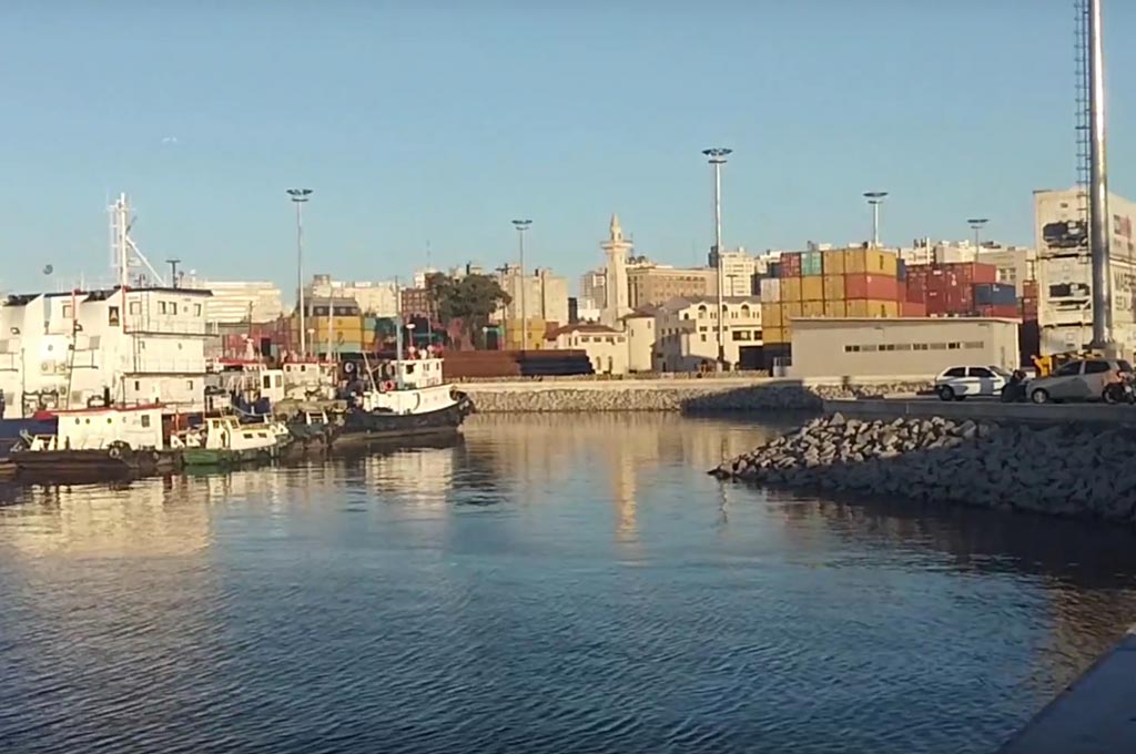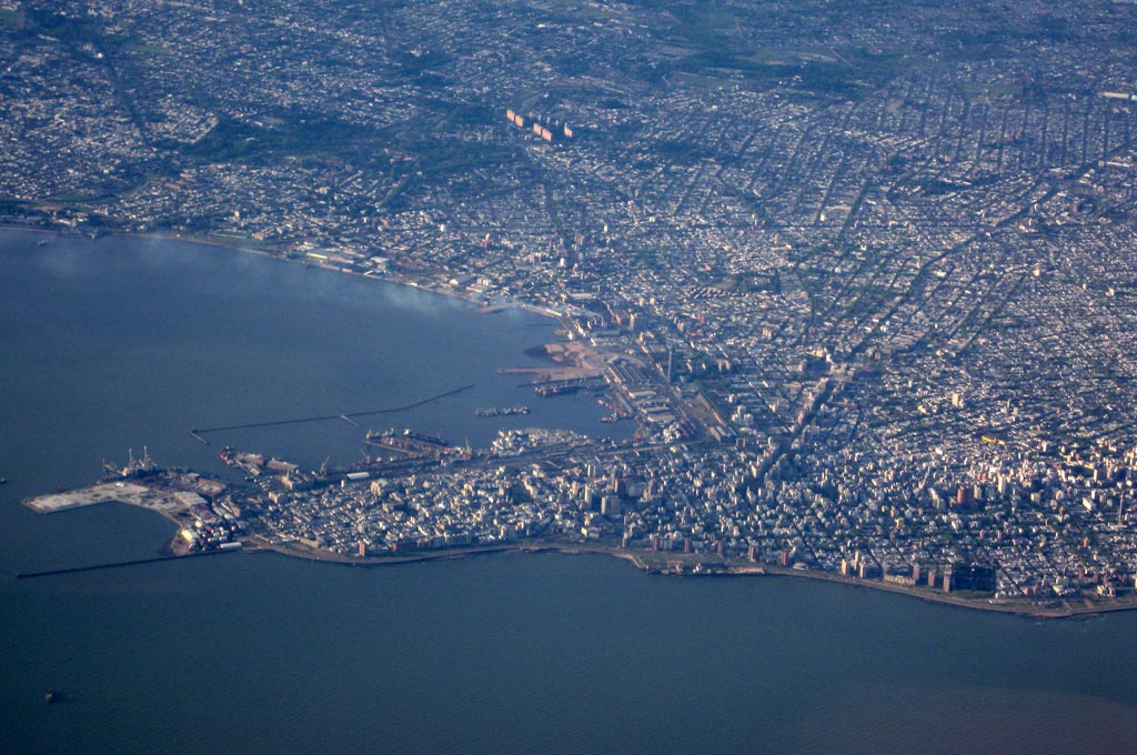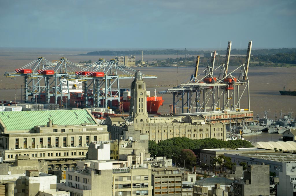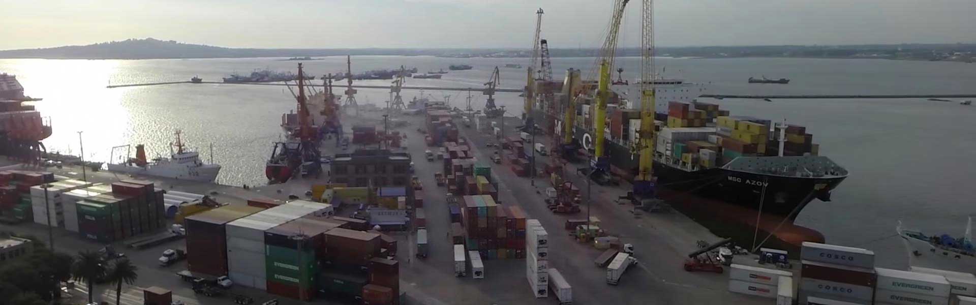
Port of Montevideo
| Port name: |
Montevideo, Uruguay |
| Status:
|
Port Open |
| Port ID Number: |
17941 |
| UN Locator code: |
UYMVD |
| Port facility name: |
Terminal de ANP – Montevideo – |
| Assigned port facility number: |
2000 |
| Alternative name(s) for port facility (if applicable): |
Puerto de Montevideo – Administración Nacional de Puertos – |
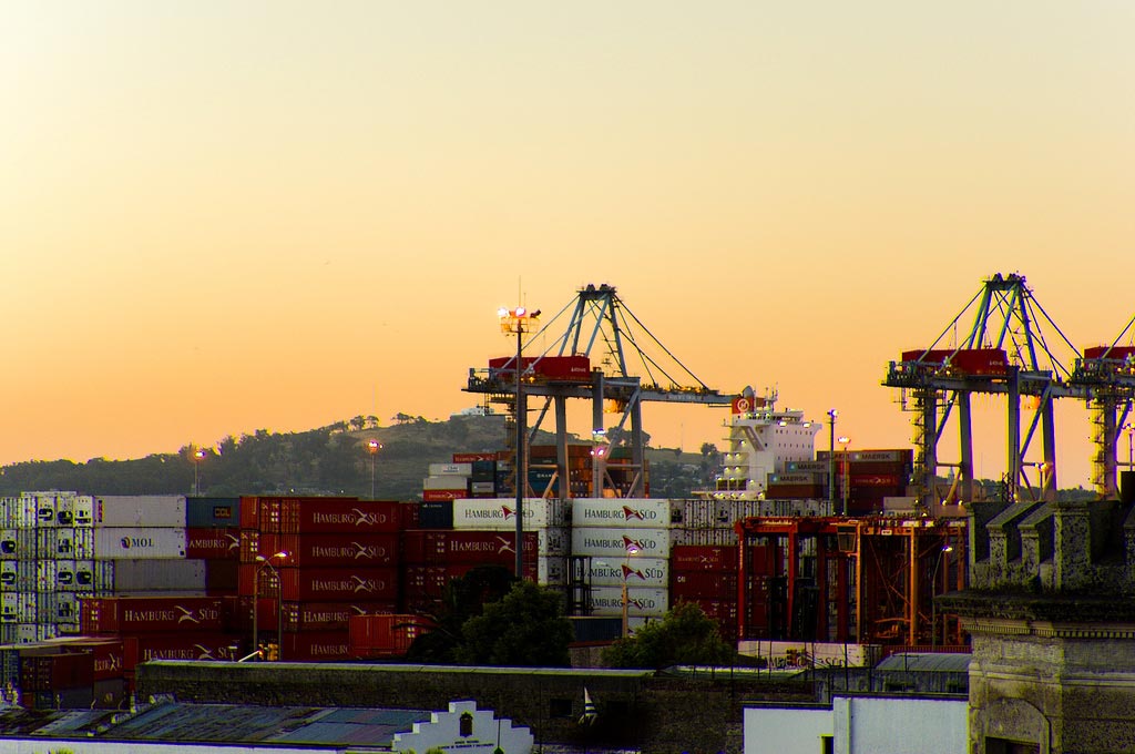
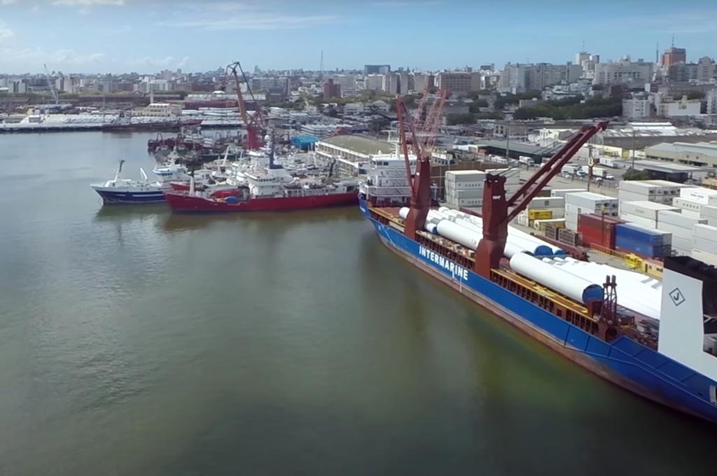
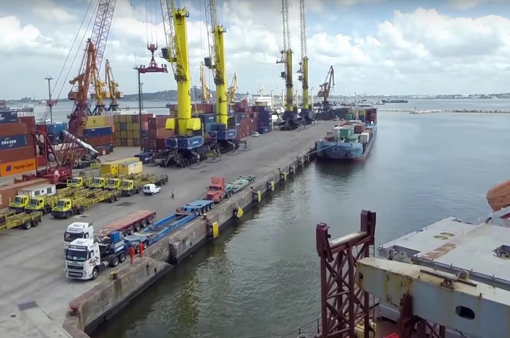
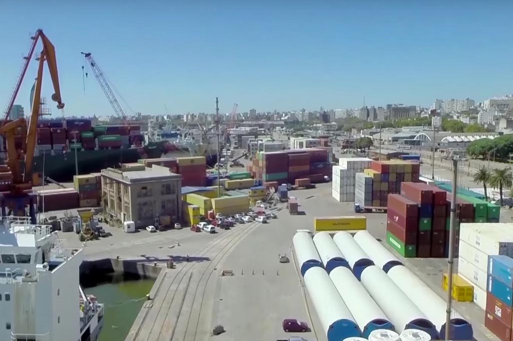
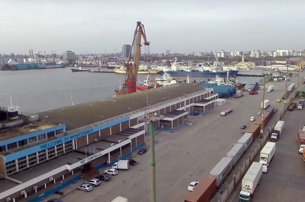
| Description of port facility: | Montevideo´s port facility is prepared to receive the following cargoes/vessels: Passenger vessels, Cruise Ships, Ro-Ro, general cargoes, bulk cargeos and containers. |
| Maritime security point of contact:
|
+598 2 1901685 / +598 9 9617168 Ing. Alberto Díaz +598 2 1901685 / +598 9 9121530 Sr. Edison Peña |
| Port facility has alternative arrangement (Y/N): |
No |
| Port facility has approved port facility security plan (PFSP): |
Yes |
| Has this port facility plan (PFSP) been withdrawn: |
No |
| If port facility has been withdrawn Date of withdrawal: |
Approval date: 30 – Jun – 2004 |
| Latitude: |
34º 54.8S |
| Longitude: |
056º 13.9W |
| Pilot station position at Montevideo Roads is LAT S 34 59´51´´ LONG W 56 13´18´´ |
|
Central Dock (opposite Wharf 1)
It spans an area of 392 meters, including a cold store. After the demolition of the warehouses on berths 3, 4 and 5, an important operating area was freed for containerized cargoes as vehicles transported in Ro-Ro vessels.
Dock B
Opposite Dock 1 (east side), dock B (Berths 6 y 7), also has a first rate area, free from warehouses and where solid bulks and containers are handled. Its head is 148 meters long and 10 meters deep. The dock’s west side (opposite Dock 2, also known as Berths 8 and 9) has a length of 327 meters and a depth of 10 meters. It currently contains no warehouses and is used to move containerized and bulk merchandise as well as vehicles.
Central Dock (opposite Dock 2)
It covers an area of 392 meters and it contains a cold store with storing capacity for frozen merchandise and chilled fruit.
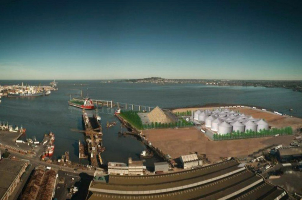
La Teja Oil (Ocean) Terminal for Hydrocarbons
It comprises of three docks located on the north side of the bay and in it the national oil Company ANCAP has installed its La Teja Refinery. The terminal tends to vessels unloading oil derivatives entering the port through the La Teja channel, from the Outer Harbor. These docks have a volume flow rate of between 300 m3/hour and 1.200 m3/hour AGW, and an LPG reception with allowable pressure of up to 20 mg / cm2. There are bunker loading facilities, as well as drinking water supply.
Specifications & Terminal restrictions :
Uruguay is located in South America, on the Atlantic coast, between Brazil (to the north) and Argentina (to the west). It has an approximate surface area of 68.000 square miles (176.000 Km2), excluding home waters. There are no major topographic features and the climate presents no navigational risks all year round. Montevideo is geographically the center of Mercosur, the gateway to the Paraguay-Parana Waterway. All these elements sharing the objective of integration have expanded the port system hinterland to a vast area that stretches deep into the continent and hosts a massive market. The Montevideo Port is absolutely reliable, profitable and safe; it operates around the clock all year round and it offers, from the sea, the possibility of accessing a whole continent and from land, a gateway to the world, the clear possibility of setting sail to good business. Montevideo has land maritime connections (river and railroads) with Brazil, Argentina and the land bound countries of Paraguay y Bolivia. The port access canal has two legs; one southward bound with a connection approximately 9 km in length and the other approximately 15-km in length with a West/South-West orientation. It also contains a railroad access, which is connected in turn with the national railroad system. To shelter its activities from the weather, the Montevideo Port presents two jetties. One to the west, 1.300 m. in length, which protects the terminal from the south – westerly winds (Pampero) and another to the East (escollera Sarandi) 900 meters in length which shelters from the south-southeast sector winds. These two jetties also protect the ports entrance-exit with a distance between heads of 320 meters. These shelter elements protect the 200 ha.. of the Outer Harbor for vessels mooring in it or in transit to operate at the port’s docks.
| LENGTH and DEPTH by DOCK | ||
| DOCK | LENGTH (mtrs.) |
DEPTH (mtrs.) |
|
Loading Dock
|
288,25 | 10 |
| River Dock |
353,60 |
5 |
| Rinconada Darsena Fluvial |
87,00 | 5 |
| Maciel Dock | 382,00 |
5 |
| Cabecera Muelle A | 50,00 | 10 |
| Dock A (Atraques 1 y 2) |
303,00 |
10 |
| Central Dock (opposite Wharf 1) (Atraques 3, 4 y 5) |
492,00 | 10 |
| Dock B – sobre Darsena 1 (Atraques 6 y 7) |
294,35 |
10 |
| Cabecera Muelle B |
148,00 | 10 |
| Dock B – sobre Darsena 2 (Atraques 8 y 9) |
327,00 |
10 |
| Central Dock (opposite Wharf 2) (Atraques 10 y 11) |
392,00 | 5 |
| Florida Dock | 53,00 |
5 |
| Mantaras Dock | 600,00 | 5 |